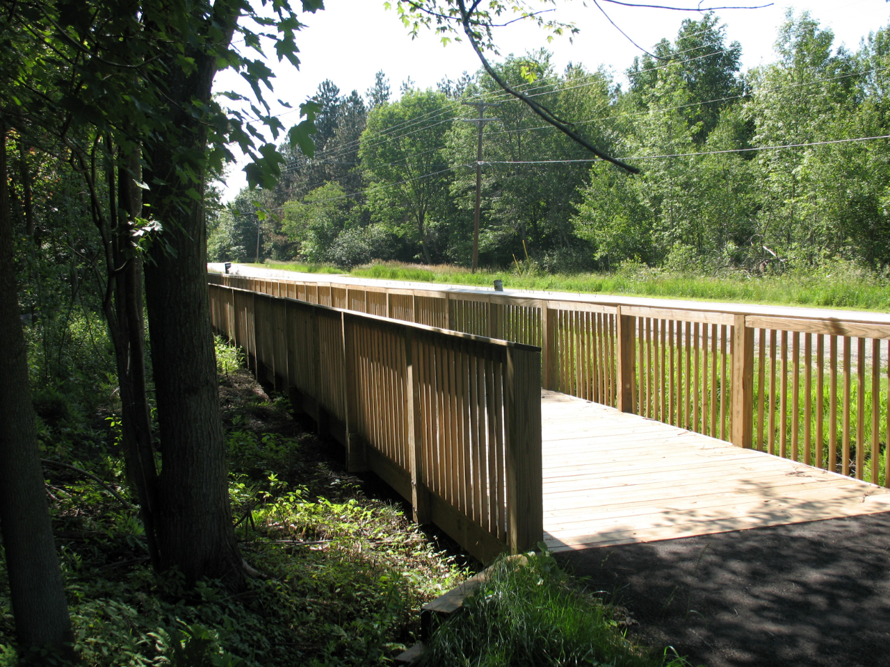
Bald Mountain Pedestrian Pathway
The Bald Mountain Pedestrian Pathway is 1.8 miles long, 1 mile of which is constructed parallel to park roads.
Civil Infrastructure
Development Services
Planning
Construction Phase Services
Design
Development Services
Planning
Construction Phase Services
Design